by Michael
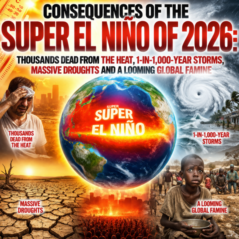
Whenever El Niño conditions develop, certain things usually happen. The weather gets warmer, storms become more intense, certain areas of the globe experience drought and food shortages intensify. During normal El Niños, the changes are noticeable but they aren’t too dramatic. But during Super El Niños, the changes can be absolutely catastrophic. For example, the Super El Niño of 1982-1983 caused severe crop failures in Indonesia and India and it sparked a devastating multi-year famine in Africa. A century earlier, the Super El Niño of 1877-1878 resulted in tens of millions of people starving to death. So when a Super El Niño comes along, it is a very big deal.
Unfortunately, it is now being projected that the Super El Niño that has just begun is likely to become the most powerful Super El Niño of all time by a very wide margin…
The developing 2026-27 El Nino is strengthening at a pace never seen before, with leading climate models now indicating it could become the most powerful event in at least 150 years of observations, according to an analysis by climate scientist Zeke Hausfather, climate research lead at Stripe and research scientist with Berkeley Earth.
Drawing on 667 ensemble forecasts from 14 leading seasonal climate models, Hausfather says the event is not only expected to surpass the historic 1997-98 and 2015-16 El Nino episodes, but could exceed them by a margin that has “never been observed.”
“The models are forecasting something outside the envelope of anything we have ever observed,” Hausfather wrote in his latest analysis.
In other words, the weather is going to be absolutely insane during the months ahead.
Of course the impact of this Super El Niño is already being keenly felt.
On Sunday, two different locations in Montana actually recorded high temperatures of 115 degrees…
A high temperature of 115 degrees in July would be normal in Death Valley, California. But not in Glendive and Miles City in eastern Montana.
It reached 115 degrees in both of those places on Sunday, breaking their all-time records. This remarkable heat came up just short of the 117 degrees reached in Death Valley, the U.S. national high temperature for the day.
Temperatures also soared to 111 degrees in Billings, Montana; 110 degrees in Worland, Wyoming; and 109 degrees in Salt Lake City — new all-time records.
Before Sunday, the highest temperature ever recorded in the entire history of Salt Lake City was 107 degrees and the highest temperature ever recorded in the entire history of Billings was 108 degrees.
We are smashing records left and right, and now the absolutely massive heat dome that I wrote about on Friday is moving east.
According to the Daily Mail, almost 200 million Americans will experience extreme heat…
Nearly 200 million Americans are suffering through another stretch of extreme heat and humidity this week, which experts warn could turn deadly within minutes.
Extreme heat warnings have been issued in several states throughout the Upper Midwest and Northeast, including New Jersey, Pennsylvania, Minnesota, Wisconsin, North Dakota, Wyoming, Montana and Michigan.
It seems like the last gigantic heat dome just left the east coast, and now the next one is on the way and conditions are going to get really hot…
The scorching heat, forecast to push the mercury over 100 degrees, is set to envelop a 1,500-mile area stretching from the Dakotas to New Hampshire, beginning Tuesday and peaking along the Mid-Atlantic coast on Wednesday.
New York City will just miss triple digits, topping out at 99 degrees Wednesday, according to the National Weather Service.
Temperatures in Baltimore and Atlantic City on Wednesday, however, will soar to a sizzling 102 degrees, while the mercury will top 101 degrees in Washington, DC, Philadelphia, and Newark.
We may think that we have it really bad, but things have been even worse in Europe.
It is being estimated that the historic heatwave that just ripped through Western Europe killed at least 14,000 people…
Last month’s record-breaking heat wave killed thousands across Western Europe, making it one of the continent’s deadliest climate disasters.
Preliminary official mortality data and researchers’ estimates from the six hardest-hit countries point to at least 14,000 excess deaths during the period of extreme heat, according to POLITICO’s analysis.
The heat wave, which began around June 18 and lasted until July 1, shattered records in several countries.
This Super El Niño has already killed thousands, and it is only about a month old.
And it is also producing absolutely monstrous storms.
In Missouri, a “1-in-1,000-year rainfall event” resulted in horrific flooding over a very wide area…
Search operations continued along the Black River in Missouri this week after a 1-in-1,000-year rainfall event caused catastrophic flash flooding, washed out roads and campgrounds and prompted hundreds of rescues.
The National Weather Service issued a rare flash flood emergency on Friday, July 10, for parts of Iron and Reynolds counties, urging residents to move to higher ground immediately as thunderstorms unleashed torrential rainfall across south-central Missouri.
The storms produced as much as 12 inches or more of rain in just a matter of hours in parts of Crawford, Iron, Madison, Reynolds and Wayne counties, according to Missouri Gov. Mike Kehoe’s office. The governor’s office said the extreme rainfall amounted to a 1-in-1,000-year event in some locations.
The state has never seen anything quite like this before.
The Black River actually rose to an all-time record high level of 28.7 feet…
Relentless thunderstorms dumped between six and 12 inches of rain near the Black River in southeastern Missouri, inundating roads, campgrounds and communities.
Officials warned the danger was far from over on Friday evening, with rivers continuing to rise and additional flooding expected in the coming hours. The river rose to an all-time high of 28.7 feet during the day on Friday.
Needless to say, that is not the only extremely unusual storm that we have seen lately.
As I discussed in a previous article, in just a 24 hour period 17 inches of rain came pouring down in one part of Ohio.
That kind of a downpour should be theoretically impossible, because it is far rarer than a 1-in-1,000-year rainfall event.
But it did happen.
Other areas of the nation have been gripped by endless drought.
In fact, conditions are so dry in the Southwest that Lake Powell may soon no longer be able to produce hydropower…
Lake Powell, the second-largest reservoir in the U.S., is nearing critically low water elevation levels, the latest data shows.
As of Monday, water levels at Lake Powell measured at 3,524.3 feet above sea level, according to the U.S. Bureau of Reclamation tracker.
Minimum, or “dead,” power pool — in which the water is too low to spin the hydroelectric turbines and can no longer produce hydropower — starts at 3,490 feet of elevation, Peter Soeth, public affairs lead at the Bureau of Reclamation, told ABC News. Elevation at Lake Powell is currently about 34 feet above the minimum power pool.
This has never happened before.
If Lake Powell gets too low, millions of people living in Arizona, Nevada and California could actually be without water…
The reservoir could reach a “dead pool” when its elevation drops to 3,370 feet, at which point water can no longer flow past Glen Canyon Dam by gravity.
In a dead pool, about 240 feet of water would be trapped at the bottom of the canyon, unable to flow to millions of people who rely on it in Arizona, California and Nevada, the Lake Powell Chronicle reported.
For a long time I have been warning that Dust Bowl conditions would be returning to the Southwest.
Unfortunately, that time has arrived.
On Sunday night, a giant “wall of dust” ripped through the Phoenix area…
A wall of dust moved through the Valley Sunday night, causing power outages, traffic delays, and flight groundings at Phoenix Sky Harbor Airport.
Residents in the West Valley and Phoenix metro area were engulfed by a large orange dust plume that led to low visibility and created dangerous driving conditions.
The Avondale and Goodyear areas were under a Dust Storm Warning issued by the National Weather Service in Phoenix on Sunday. Other areas included I-10, I-17 and US-60 near Phoenix and Mesa.
Enormous dust storms have become increasingly common in the western half of the nation.
But this is just the beginning.
In the months ahead, extreme heat and a lack of rainfall will make it very difficult to grow crops in key agricultural regions all over the globe.
During most years, crop failures in one breadbasket region can be offset by bumper crops in other breadbasket regions.
But when a Super El Niño comes along, multiple breadbasket regions can fail simultaneously, and our system is not designed to handle that…
What made the modern food system seem resilient was never abundance alone. It was geography. Regions like the North American Prairies, Ukrainian Steppe and northern India grow much of the crops that feed humans and livestock.
The system works because crop failures are expected to be local, not simultaneous. If one breadbasket region fails to produce one year, another could cover the shortfall. The Earth itself provides a kind of buffer, but that buffer is thinning.
We are already getting a very clear preview of what is to come.
In one section of Uganda, farmers have had next to no rain since April, and people are starting to drop dead…
The Ugandan government says at least 16 people have died from hunger in recent weeks in the north-eastern region of Karamoja due to a prolonged drought.
Farmers say they’ve lost crops because the area received little or no rain since April – the beginning of the planting season.
In Sudan, approximately 5 million people are ” facing emergency or catastrophic levels of hunger”…
Sudan remains the world’s largest humanitarian crisis, with around 5 million people facing emergency or catastrophic levels of hunger, even after an intensive aid response helped reduce the number of people in famine-like conditions, Carl Skau, the WFP’s acting executive director, told Reuters.
“It’s a massive crisis, both in terms of numbers, but also the gravity,” he said, adding that more than 100,000 people were still facing famine-like conditions, placing them in the highest level of the U.N.-backed IPC hunger classification.
“With these kinds of numbers in IPC (Phase) 5 starvation it is extremely, extremely serious,” he said.
We can’t feed everyone now, but the situation will become much more dire once we get to harvest season.
The food that we grow this year is supposed to feed us well into 2027.
Sadly, the outlook is not promising at all.
In 1876, there were about 1.5 billion people living on our planet.
By 1878, approximately 50 million of them were dead…
From 1876 until 1878, a global famine wreaked havoc on Asia, South America, and Africa, cutting short the lives of an estimated 50 million people.
“It was arguably the worst environmental disaster to ever befall humanity and one of the worst calamities of any sort in at least the last 150 years,” the authors of a 2018 research article in the Journal of Climate wrote in their paper. “In a very real sense, the El Niño and climate events of 1876–78 helped create the global inequalities that would later be characterized as ‘first world’ and ‘third world.’”
Today, there are 8.3 billion people living on our planet.
How many of them will starve this time?
The mainstream media is treating this Super El Niño like it isn’t a serious crisis.
That is a huge mistake.
Thousands have already died, and scientists are projecting that this current Super El Niño will persist well into 2027.