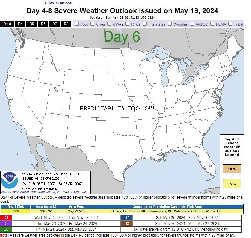
Day 4-8 Convective Outlook
NWS Storm Prediction Center Norman OK
0358 AM CDT Sat May 18 2024
www.spc.noaa.gov/products/exper/day4-8/#
Valid 211200Z – 261200Z
…DISCUSSION…
…Day 4/Tue — Southern Plains to the Mid/Upper MS Valley…
Medium-range guidance has been fairly consistent the past several
cycles in showing a negatively tilted upper shortwave trough
ejecting across the central Plains to the upper Great Lakes on
Tuesday. As this occurs, a surface cyclone over NE/KS will deepen
and track northeast to MN/WI by 06z. As this occurs, a surface cold
front will develop east across the region, becoming oriented from
near Lake Michigan southwestward to northwest TX by Wednesday
morning. Across the warm sector, mid/upper 60s F dewpoints will be
widespread, aiding in moderate to strong destabilization during the
day. Storms will likely develop by early afternoon near the surface
low and cold front across western IA southward into eastern KS. The
current expectation is that a linear MCS will evolve over IA/MO and
shift east through the evening. While damaging gusts will be the
primary hazard, large hail and tornadoes also will be possible.
With southward extent into OK and portions of the Ozarks, convective
coverage may be less. This area will be further removed from
stronger large-scale ascent, and capping may erode less efficiently
as a result. Nevertheless, where storms can develop, supercell wind
profiles amid a very moist and unstable airmass will support an
all-hazards risk.
h/t DOORBERT
Views: 345